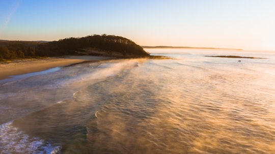
Travel Guide of Narrawallee NSW in Australia by Influencers and Travelers
Narrawallee is a coastal village in the South Coast region of New South Wales, Australia. At the 2016 census, it had a population of 1,241.
Download the Travel Map of Australia on Google Maps here
The Best Things to Do and Visit in Narrawallee NSW
TRAVELERS TOP 10 :
- Mollymook Beach NSW
- Ulladulla
- Mollymook
- Cudmirrah Beach
- Pigeon House Mountain
- Sussex Inlet NSW
- Booderee National Park
- Jervis Bay Territory
- Cave Beach
- Morton National Park
1 - Mollymook Beach NSW
Mollymook Beach is a suburb in the City of Shoalhaven, New South Wales, Australia. It is located about four km north of Ulladalla on the northern end of Mollymook beach on the shore of the Tasman Sea. At the 2016 census, it had a population of 2,447.
Learn more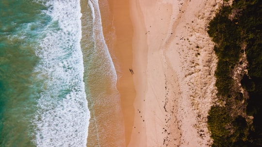
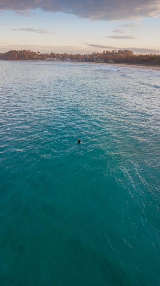
2 - Ulladulla
Ulladulla is a coastal town in New South Wales, Australia in the City of Shoalhaven local government area. It is on the Princes Highway about 230 kilometres south of Sydney, halfway between Batemans Bay to the south and Nowra to the north.
Learn more
3 - Mollymook
Mollymook is located on the South Coast of New South Wales, Australia approximately three hours' drive south of Sydney within the City of Shoalhaven local government area.
Learn more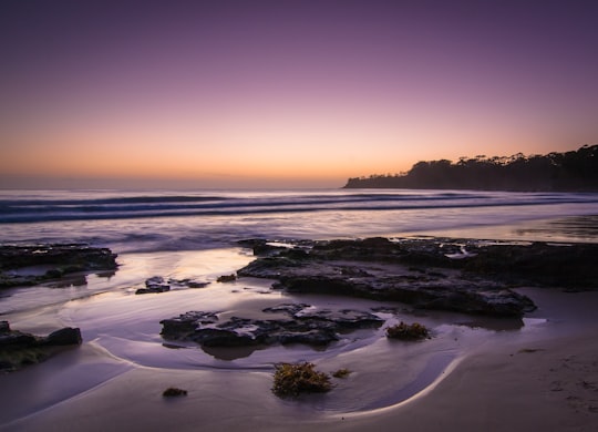
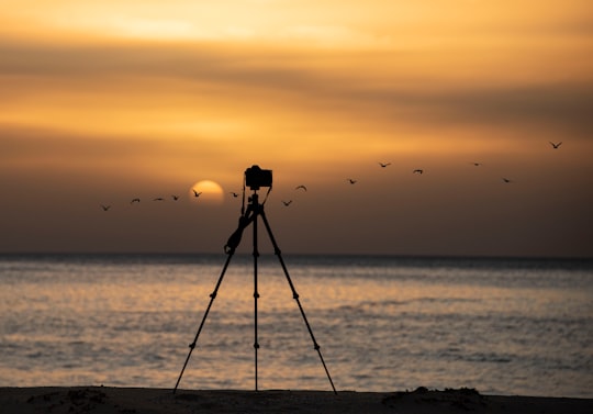
4 - Cudmirrah Beach
17 km away
Learn more
5 - Pigeon House Mountain
19 km away
Pigeon House Mountain is a mountain at an elevation of 720 metres AHD on the Budawang Range that is situated within the Morton National Park, located on the South Coast region of New South Wales, Australia.
View on Google Maps Book this experience
6 - Sussex Inlet NSW
20 km away
Sussex Inlet is a town in the South Coast region of New South Wales, Australia. The town lies on the west bank of the waterway called Sussex Inlet, which divides New South Wales from the Jervis Bay Territory. The town lies within the City of Shoalhaven.
Learn more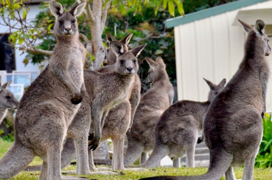
7 - Booderee National Park
23 km away
Booderee National Park and Botanic Gardens, formerly Jervis Bay National Park and Jervis Bay Botanic Gardens, are located in the Jervis Bay Territory of Australia. The reserve is composed of two sections:
Learn more Book this experience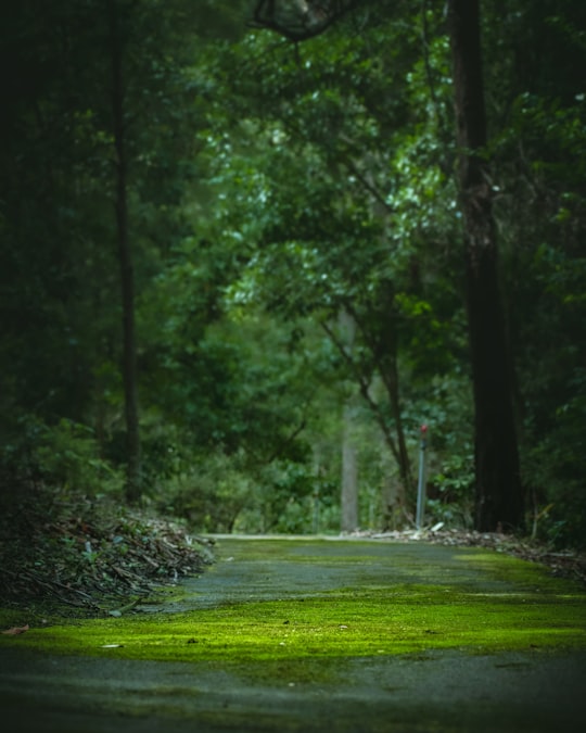

8 - Jervis Bay Territory
25 km away
The Jervis Bay Territory is an internal territory of the Commonwealth of Australia. It was surrendered by the state of New South Wales to the Commonwealth Government in 1915 so that the Australian Capital Territory would have access to the sea.
Learn more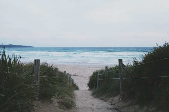
9 - Cave Beach
25 km away
Learn more
10 - Morton National Park
27 km away
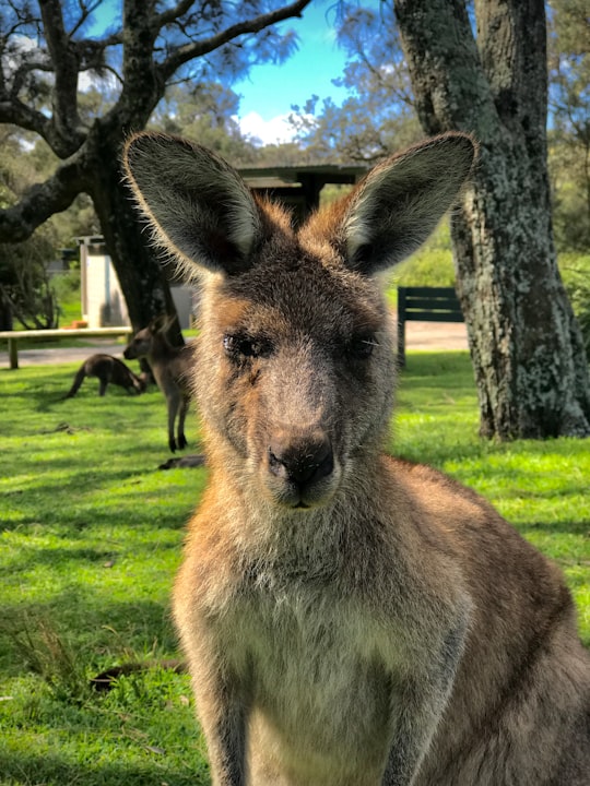
The Morton National Park is a 199,745-hectare national park located in the Southern Highlands, South Coast and Illawarra regions of New South Wales, Australia, situated approximately 170 kilometres south southwest of Sydney.
View on Google Maps Book this experience
11 - St Georges Basin NSW
28 km away
Basin View is a town in New South Wales, Australia in the City of Shoalhaven, on the shores of St Georges Basin. It is roughly 25 km south of Nowra, and approximately 200 km south of Sydney. At the 2016 census, the population of Basin View was 1,554.
Learn more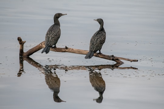
12 - Hyams Beach
31 km away
Hyams Beach is a seaside village in the City of Shoalhaven, New South Wales, Australia, on the shores of Jervis Bay. At the 2016 census, it had a population of 112.
Learn more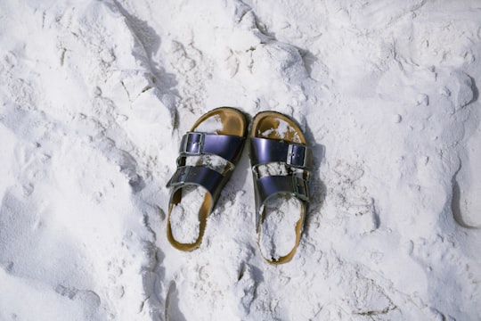
13 - Huskisson Beach
35 km away
Learn more
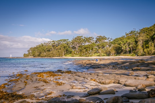
Disover the best Instagram Spots around Narrawallee NSW here
Book Tours and Activities in Narrawallee NSW
Discover the best tours and activities around Narrawallee NSW, Australia and book your travel experience today with our booking partners
Pictures and Stories of Narrawallee NSW from Influencers
Picture from Thomas Yohei who have traveled to Narrawallee NSW
Plan your trip in Narrawallee NSW with AI 🤖 🗺
Roadtrips.ai is a AI powered trip planner that you can use to generate a customized trip itinerary for any destination in Australia in just one clickJust write your activities preferences, budget and number of days travelling and our artificial intelligence will do the rest for you
👉 Use the AI Trip Planner
Why should you visit Narrawallee NSW ?
Travel to Narrawallee NSW if you like:
🏖️ BeachWhere to Stay in Narrawallee NSW
Discover the best hotels around Narrawallee NSW, Australia and book your stay today with our booking partner booking.com
More Travel spots to explore around Narrawallee NSW
Click on the pictures to learn more about the places and to get directions
Discover more travel spots to explore around Narrawallee NSW
🏖️ Beach spotsTravel map of Narrawallee NSW
Explore popular touristic places around Narrawallee NSW
Download On Google Maps 🗺️📲
